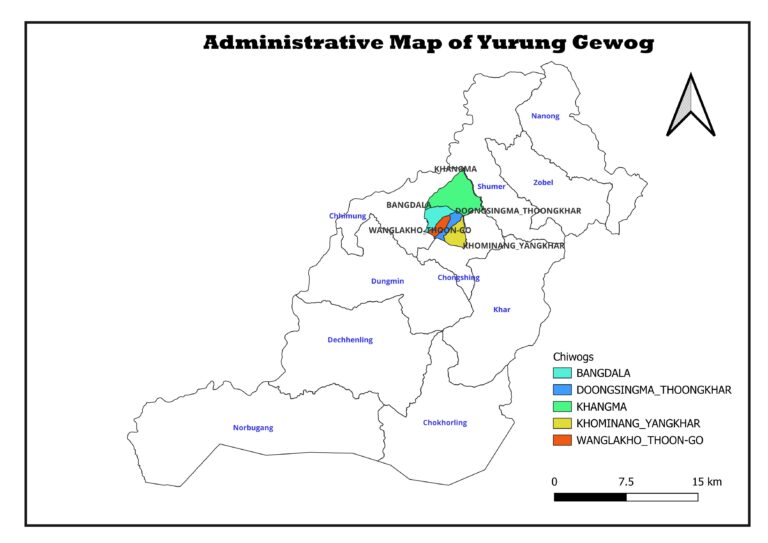
Institutions
Staff

Mangmi
Dendup Gyeltshen
Tshogpa
Kezang Namgyal
Tshogpa
Nima Tenzin
Gup
Sangay Thinley
Tshogpa
Sangay wangchuk
Tshogpa
Tshering Dendup
Tshogpa
Uygen Chogyal
GAO
Yeshi Choden
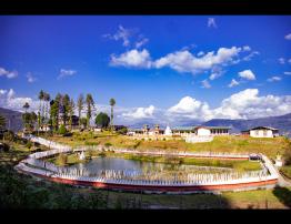
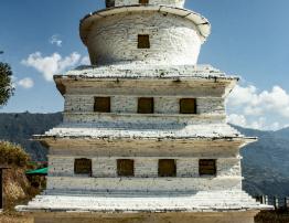
Tourism